OS MAP OF 1828-32 Click once and twice to change viewing, then use the back arrow.
1828-32 OS MAP
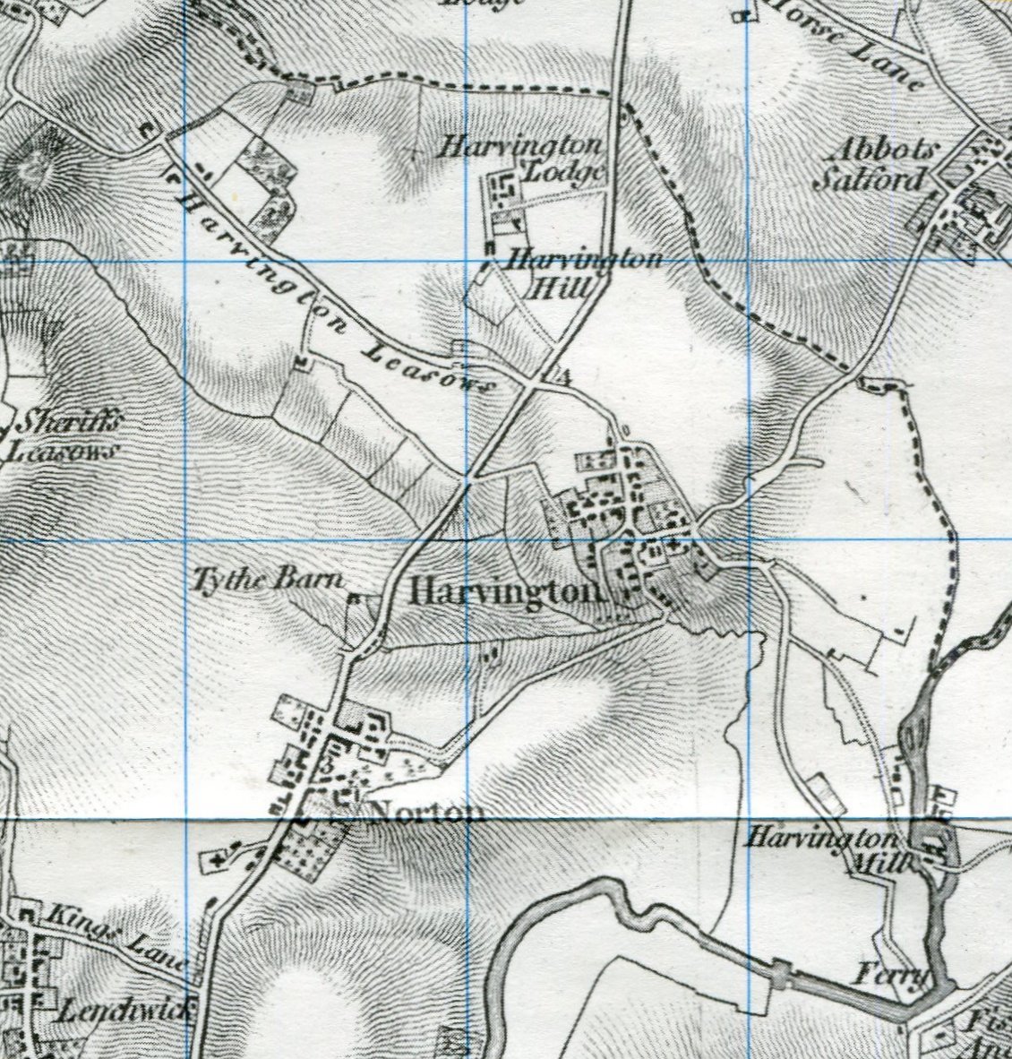
The above is part of a much large map dated to 1828-32, which has been re-published by Cassini Historical Map - Old Series. The individual properties of Harvington can be seen along with road and some of the field boundaries.