|
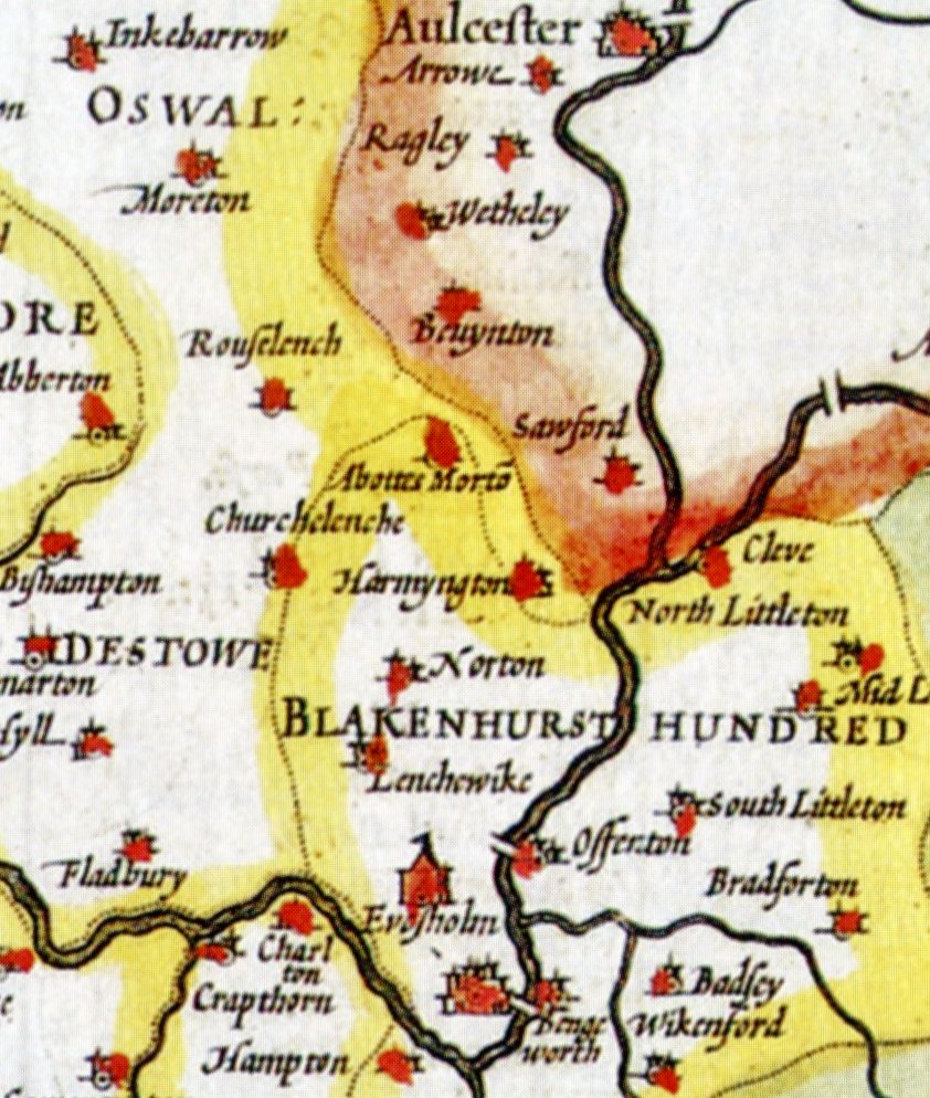
JOHN SPEED MAP OF WORCESTERSHIRE CIRCA 1612
|
|
The above has been extracted from the map of Worcestershire, drawn by the cartographer John Speed (circa 1552-1629), dated to the early 1600's. It is one of the first maps to illustrated Harvington in the context of its surroundings. Neighbouring villages such as Norton and Offenham are depicted as within the then hundred of Blakenhurst. Blakenhurst no longer exists as a hundred and the area is now within the hundred of Oswaldstowe, however it is believed that Harvington was never in the hundred of Blakenhurst and was always a detached Parish within the hundred of Oswaldstow.
Julian Rawes, Crooked Walls, 2019.
|
|